
Not sure how or why but the Navionics chart plotter on my mobile phone works again!?!?
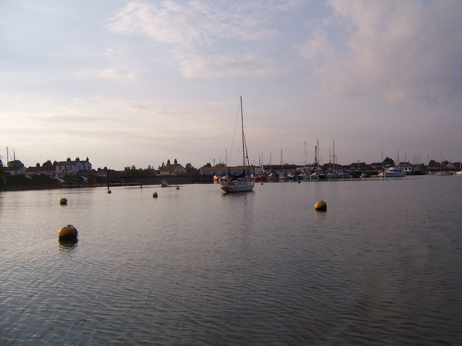
I sailed from Bridgemarsh to the anchorage just off Osea Island before I activated the tracker on my mobile. The achnorage was very busy with lots of people waiting for the tide to make it up Mayland Creek. So first of all I visited Maylandsea. Very tidal, 1 hr either side of HW.

After this little excursion it was too late to go up to Maldon and mooring there is almost impossible so I decided to leave it until high water on Sunday. I tried to find deep water to anchor off Heybridge which wasn't in the channel.
In the end I gave up, used a buoy and prepared for a night lying on a bulkhead. Deepest mooring resulted in 4 hours nestled in the forecabin. Not too bad.
Next morning I was up early to take the tide up to Maldon. There were a large number of Thames Barges, most had BSBM 2013 pennants which I assume is some sort of rally.

I caught Repertor in the sun.

I made it up to the top of Maldon before my camera battery ran out.

On my way back I kept pace with Niagara, she looks like a new steel hull. she went off to the Thames estuary and I went back to the Crouch.
A good trip all in all, nothing broke and boat went well.
Not sure how this post will turn out, Photobucket etc and Preview function isn't working on my machine.
No comments:
Post a Comment